Typhoon Carina further intensifies
MANILA, Philippines — Typhoon Carina further intensified on Wednesday morning and is expected to make landfall in Taiwan in the afternoon or evening, the state weather bureau said.
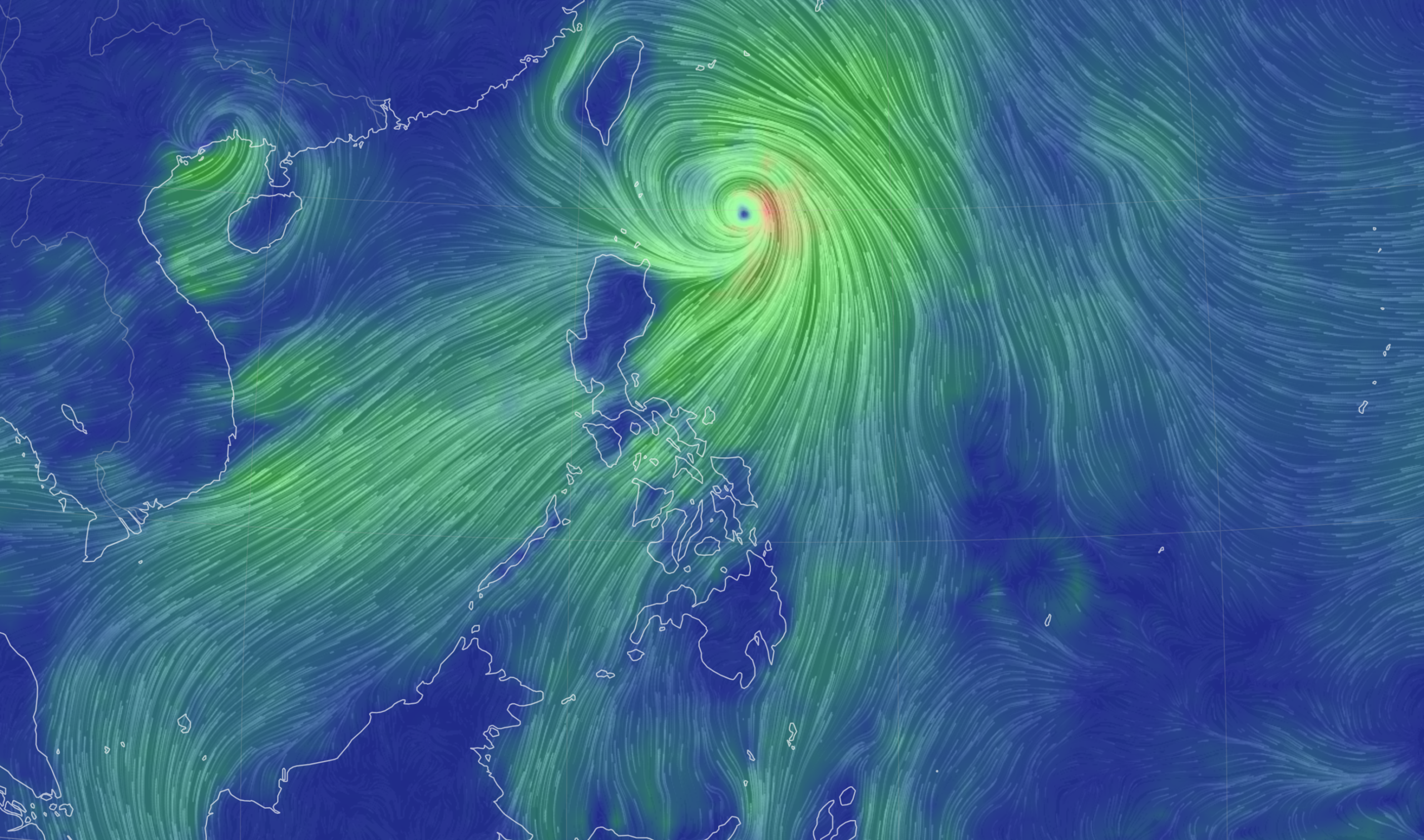
As of 11:00 a.m., Carina was last spotted 345 kilometers north-northeast of Itbayat, Batanes. It was packing maximum sustained winds of 165 kilometers per hour (kph) near the center and gusts of up to 205 kph, according to the Philippine Atmospheric, Geophysical and Astronomical Services Administration (Pagasa).
“Carina is forecast to steadily intensify and may reach its peak intensity prior to its landfall over Taiwan due to favorable environment,” Pagasa’s advisory read.
According to Pagasa's track forecast, the typhoon will cross the rugged terrain of Taiwan and exit the Philippine area of responsibility on Wednesday night or Thursday morning
Article continues after this advertisementREAD: Typhoon Carina intensifies; Signal No. 2 in Batanes
Tropical Cyclone Wind Signal (TCWS) No. 2 was raised over Batanes, while TCWS No. 1 was up in the Babuyan Islands, the northern portion of Cagayan, and the northern portion of Ilocos Norte.