LPA spotted outside PAR but it won’t affect PH, says Pagasa
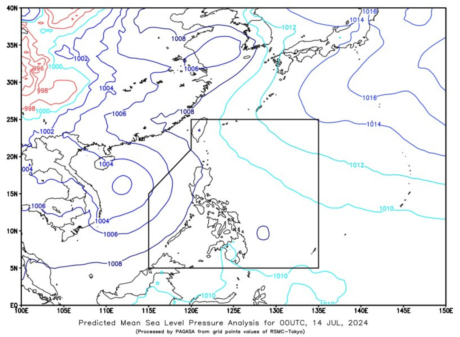
Illustration courtesy of PAGASA
MANILA, Philippines — A low pressure area (LPA) was spotted outside the Philippine area of Responsibility (PAR) early Sunday morning.
It may develop into a tropical depression or cyclone within the next 24 hours, according to the state weather bureau.
In a morning forecast, the Philippine Atmospheric, Geophysical and Astronomical Services Administration (Pagasa) said the LPA outside PAR was last monitored around 3 a.m. about 885 kilometers west of Central Luzon.
READ: Pagasa: Cloudy, rainy Friday; Watch out for floods and landslides
“Within the next 24 hours, mataas yung tsansa ng LPA na maging isang ganap na bagyo o tropical depression. Pero ganun pa man, wala tayong inaasahan na direktang epekto ng nasabing sama ng panahon sa ano mang bahagi ng bansa,” weather specialist Daniel James Villamil emphasized.
Article continues after this advertisement(Within the next 24 hours, the LPA has a high chance of becoming a full-blown typhoon or tropical depression. However, we do not expect this to affect any part of the country directly.)
“Sa mga susunod na araw, magpapatuloy yung generally northwestward na paggalaw nito patungo sa bansang Vietnam,” he added.
(In the next few days, it will move generally northwestward towards the country of Vietnam.)
Villamil likewise reported that they are monitoring cloud clusters within PAR, which was located east of Mindanao.
“Itong mga kumpol ng kaulapan na ito, posible ring maging isang ganap na LPA na posibleng magdulot ng mga pag ulan sa silangang bahagi ng Visayas at sa Mindanao,” he noted.
(These cloud clusters can also become an LPA that can cause rains in the eastern part of the Visayas and Mindanao.)
According to the weather specialist, there is a high chance of rain and scattered thunderstorms in the western section of Luzon and most parts of Visayas and Mindanao due to the combined effects of cloud clusters and southwest monsoon or habagat.
Meanwhile, no gale warning was raised in any of the country’s seaboards.