Storm Fred expected to strengthen as it aims for Florida Panhandle

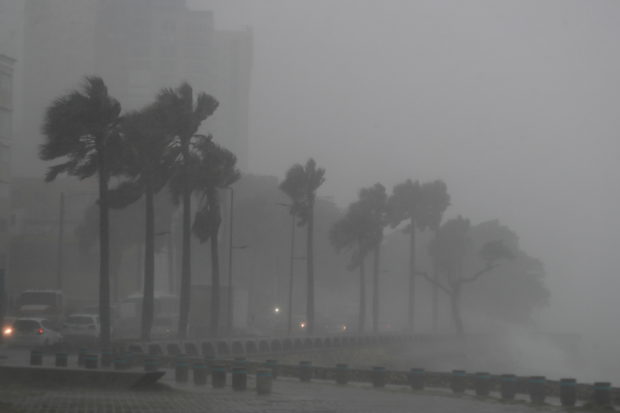
Palm trees sway in the wind and rain during the passage of Tropical Storm Fred in Santo Domingo, Dominican Republic n 11, 2021. (REUTERS/Ricardo Rojas)
The remnants of Storm Fred were moving across the Gulf of Mexico on Saturday and were expected to strengthen into a tropical storm overnight, potentially dropping several inches of rain on the Florida Panhandle and southern Alabama early next week.
The storm was about 510 miles (820 km) south-southeast of Mobile, Alabama on Saturday and moving west-northwest at 35 miles (55 km) per hour, according to the Miami-based National Hurricane Center.
It was expected to turn northwest overnight and had a 90% chance of re-strengthening into a tropical storm within the next 48 hours, the NHC said in a Saturday evening advisory.
“Fred is forecast to regenerate as a tropical cyclone over the Gulf of Mexico tonight or on Sunday, and bring a risk of tropical storm conditions to portions of the northern Gulf coast, especially from coastal Mississippi to the Florida Panhandle beginning on Monday,” the forecaster said in a statement.
The storm was expected to drop 3 to 7 inches (8 to 18 cm) of rain with maximum isolated totals of 10 inches (25 cm) on the Florida Big Bend and Panhandle by Tuesday.
Article continues after this advertisementFred pummeled the Dominican Republic and grazed the north coast of Cuba on Thursday before moving over the Gulf, leaving thousands in the Dominican Republic without power or running water.