Tropical Storm 'Dindo' slightly intensifies, may exit PAR Monday morning | Inquirer News

Tropical Storm ‘Dindo’ slightly intensifies, may exit PAR Monday morning

By: - Reporter / @KHallareINQ
/ 11:38 AM August 02, 2020

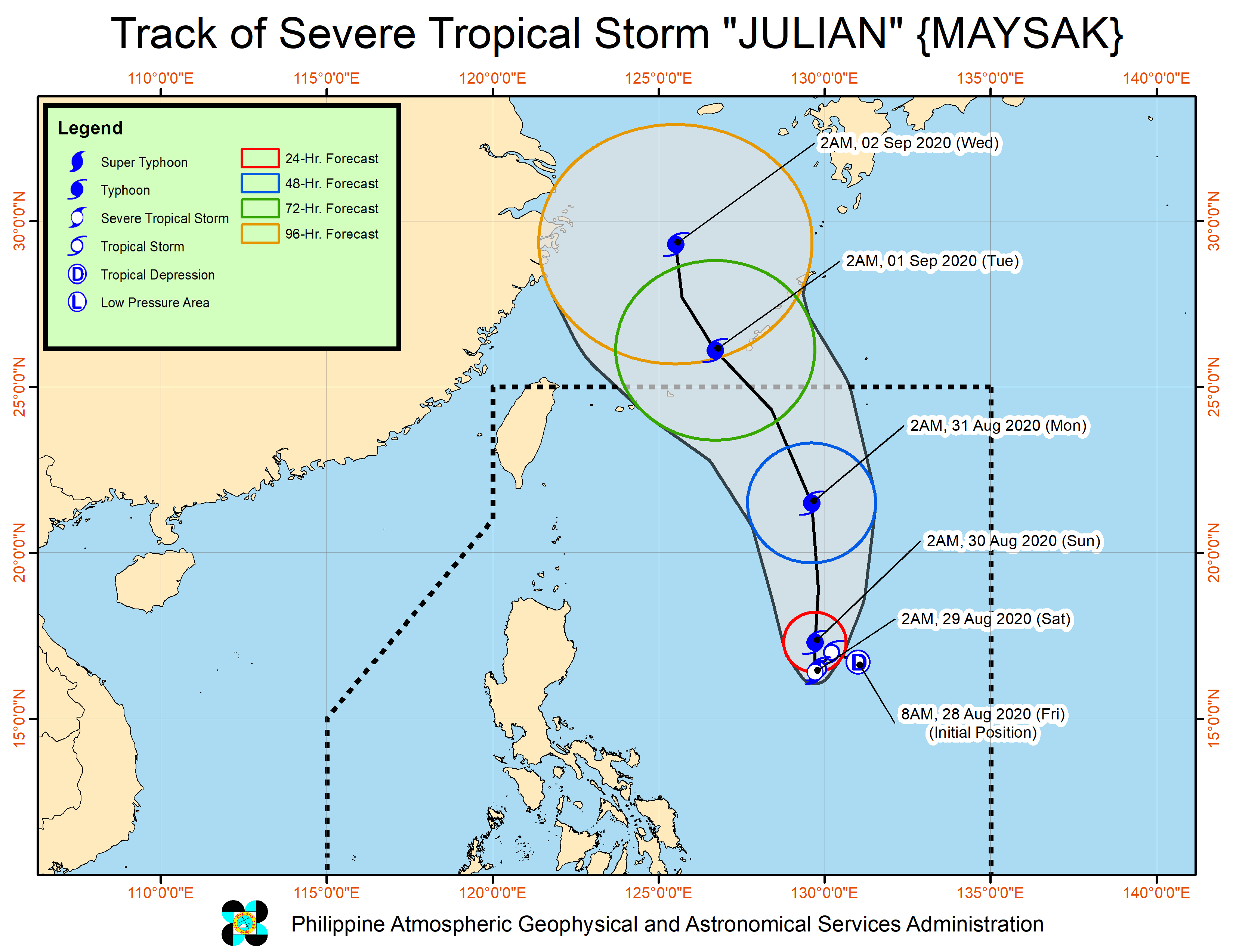
dindo pagasa track

MANILA, Philippines — Tropical Storm “Dindo” has slightly intensified as it moves northwestward towards the Ryukyu Islands of Japan, the state weather bureau said Sunday.

In its 11 a.m. weather update, the Philippine Atmospheric, Geophysical and Astronomical Services Administration (Pagasa) said that Dindo is expected to exit the Philippine Area of Responsibility (PAR) by Monday morning and is not likely to make landfall in any areas of the country.

Article continues after this advertisement

Dindo was last monitored at 385 kilometers northeast of Basco, Batanes.

FEATURED STORIES

The tropical storm also packed maximum sustained winds of 75 kilometers per hour (kph) near the center, and gustiness of up to 90 kph.

Pagasa added that Dindo was spotted moving northwest at 20 kph.

State meteorologists added that Dindo may intensify into a severe tropical storm by Monday morning.
JE
Your subscription could not be saved. Please try again.
Your subscription has been successful.

Subscribe to our daily newsletter

By providing an email address. I agree to the Terms of Use and acknowledge that I have read the Privacy Policy.

TAGS: Weather

Your subscription could not be saved. Please try again.
Your subscription has been successful.

Subscribe to our newsletter!

By providing an email address. I agree to the Terms of Use and acknowledge that I have read the Privacy Policy.

© Copyright 1997-2024 INQUIRER.net | All Rights Reserved

This is an information message

We use cookies to enhance your experience. By continuing, you agree to our use of cookies. Learn more here.