Storm brewing east of Visayas may enter PH Saturday
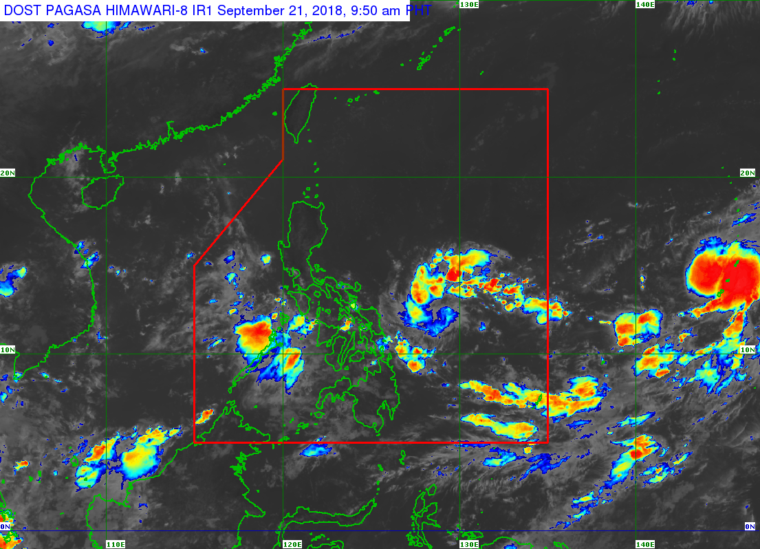 A potential storm east of the Visayas is seen to enter the Philippine area of responsibility (PAR) this weekend, the state weather bureau said Friday.
The low-pressure area was spotted 2,006 kilometers east of the Visayas and is likely to develop into a tropical cyclone, weather forecaster Meno Mendoza of the Philippine Atmospheric Geophysical and Astronomical Services Administration said.
It is forecast to enter the PAR on Saturday or Sunday. If it forms into a tropical depression, it will be locally named “Paeng.”
Mendoza said the potential cyclone is expected to cross extreme Northern Luzon.
Meanwhile, the intertropical convergence zone continues to affect Southern Luzon, Visayas, and Mindanao.
Mimaropa, Western and Central Visayas, Zamboanga Peninsula will have cloudy skies with scattered rain showers and thunderstorms.
Metro Manila and the rest of Luzon will have localized thunderstorms.
Responding to appeals for help, the Inquirer is extending its relief efforts to the families affected by Typhoon Paeng. Cash donations may be deposited in the Inquirer Foundation Corp. Banco De Oro (BDO) Current Account No.: 007960018860 and through Maya