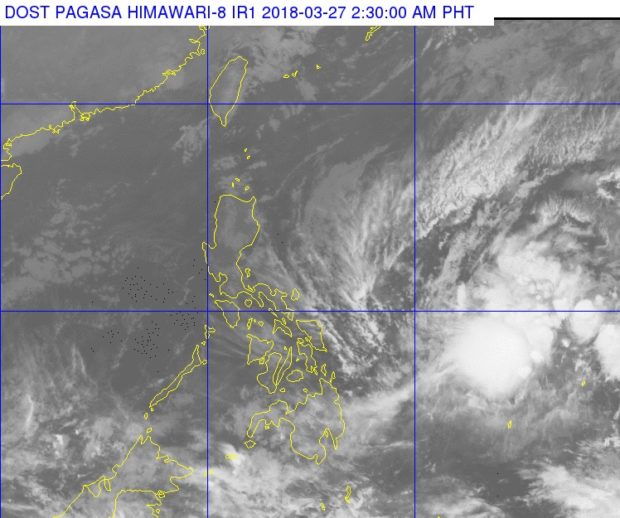

A tropical storm is expected to enter the Philippine area of responsibility on Tuesday morning if it continues its track, the state weather bureau said.
Jelawat (international name) was last spotted 1,005 kilometers east of Hinatuan, Surigao del Sur, the Phiilippine Atmospheric, Geophysical and Astronomical Services Administration said.
The storm was packing maximum sustained winds of 65 kilometers per hour near the center and gusts of 80 kph. It was moving northwest at 20 kph.
It will be locally named ‘Caloy’ once it enters PAR.
The northeast monsoon continues to affect the entire Luzon, with scattered or light rain expected.
The rest of the country will have partly cloudy to cloudy skies with isolated rainshowers. /cbb
MOST READ
LATEST STORIES