
Source: Pagasa | March 25, 1 pm
The low pressure area east of the country has intensified into a tropical depression, the weather bureau said Sunday.
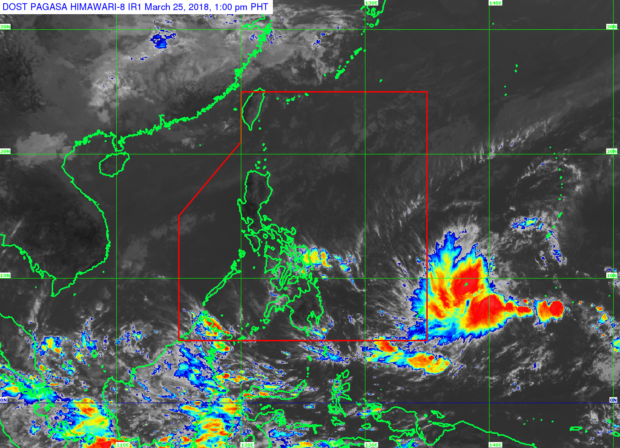
A tropical depression outside the Philippine area of responsibility (PAR) was spotted 1,740 kilometers (km) East of Hinatuan, Surigao del Sur, the Philippine Atmospheric, Geophysical and Astronomical Services Administration (Pagasa) said in its 11 a.m. advisory.
The weather system reportedly packs maximum sustained winds of 55 km per hour near the center and gustiness up to 65 km per hour.
Pagasa said the tropical depression was moving west northwest and would be named “Caloy” once it entered the PAR either on Monday evening or Tuesday morning.
The tropical depression could develop into a tropical storm by Monday morning, the weather bureau predicted.
Despite this, it will not likely make a landfall in the country given its recurving track, the agency said. /cbb