
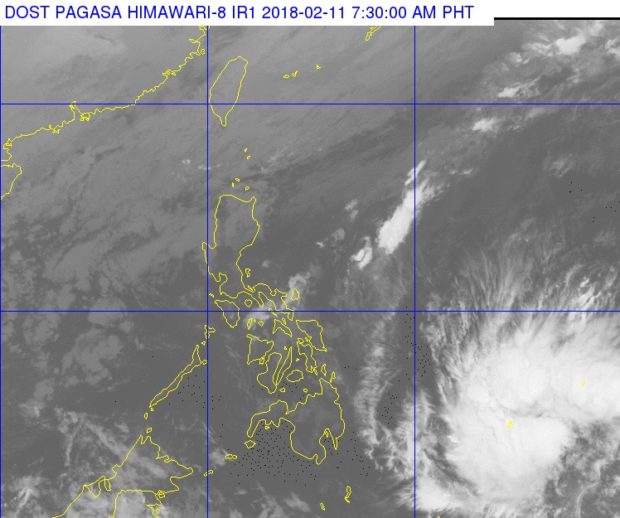
The clouds of a tropical depression east of Mindanao can be seen at the right lower corner of this satellite photo released by Pagasa Sunday morning, Feb. 11, 2018. PAGASA PHOTO
A tropical depression outside the Philippine area of responsibility (PAR) was last spotted at 1,355 km east of Mindanao, the weather bureau said in its Sunday morning forecast.
The weather system was moving westward at 25 kilometers per hour (kph), packing sustained winds of 45 kph and gusts of up to 65 kph, the Philippine Atmospheric, Geophysical and Astronomical Services Administration (Pagasa) said in its 4 a.m. bulletin.
Pagasa said the Cagayan Valley Region and Cordillera Administrative Region would experience cloudy skies with scattered rains due to northeast monsoon or amihan.
It said amihan would also bring partly cloudy to cloudy skies with isolated rains over the Ilocos region.
Metro Manila and the rest of the country will experience similar weather conditions but due to localized thunderstorms, Pagasa said. /cbb