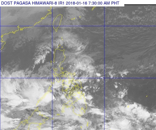

The state weather bureau is monitoring a low pressure area (LPA) east of Mindanao off Surigao del Sur that is forecast to bring rain in Mindanao.
The LPA was last located 300 kilometers southeast of Hinatuan, the Philippine Atmospheric, Geophysical and Astronomical Services Administration (Pagasa) said Tuesday.
The trough of the LPA will bring cloudy skies with scattered rain and thunderstorms over Palawan, the Visayas and Mindanao.
Weather specialist Shelly Ignacio said the weather disturbance is not likely to intensify into a tropical cyclone.
The tail-end of a cold front affecting the eastern section of Southern Luzon will bring cloudy skies with scattered rain and thunderstorms over the Bicol region and the rest of Mimaropa.
The cool weather from the northeast monsoon will bring cloudy skies with scattered rain over Cordillera region, Cagayan Valley, Aurora and Quezon.
Partly cloudy to cloudy skies with isolated rains are expected over Metro Manila and the rest of Luzon. /cbb