
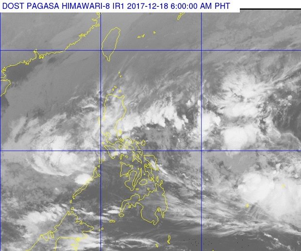
The clouds of tropical depression ‘Urduja’ appear to be thinning but remain potent as it crosses over to Palawan, where it was expected to make landfall Monday morning, Dec. 18, 2017. PAGASA PHOTO
Tropical depression “Urduja” has maintained its strength ahead of its expected landfall over northern Palawan, the state weather bureau said early Monday.
Cyclone warning signal no. 1 has been raised over Palawan, the Philippine Atmospheric, Geophysical and Astronomical Services Administration (Pagasa) said.
Urduja packed maximum sustained winds of 55 kilometers per hour near the center and gusts of up to 75 kph. It was moving west at 18 kph.
The tropical cyclone was last spotted 195 kilometers east-northeast of Puerto Princesa City.
Urduja has made five landfalls since Friday – San Policarpio, Eastern Samar; Mobo, Masbate; Sibuyan Island, Romblon; Malay, Aklan; and Cuyo Island, Palawan.
At least 26 were killed from landslides triggered by the tropical cyclone in the island province of Biliran, reports quoting local officials said. The National Disaster Risk Reduction and Management Council has yet to confirm the number of fatalities.
Scattered rain will continue over Northern Palawan including the Calamian Group of Islands. Sea travel is not advised over the seaboards of Palawan.
Urduja is expected to leave the Philippine area of responsibility by Tuesday morning or afternoon.
The tail-end of a cold front affecting the eastern section of Southern Luzon will bring cloudy skies with scattered rain and thunderstorms over Calabarzon, the Bicol region, Aurora, Mindoro, Marinduque and Romblon.
Metro Manila and the rest of Luzon will have cloudy skies with scattered rain due to the northeast monsoon. /cbb