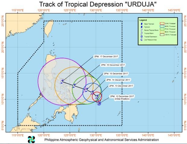

A low pressure area east of Surigao del Norte has turned into Tropical Depression “Urduja,” according to the Philippine Atmospheric, Geophysical and Astronomical Services Administration (Pagasa).
In its 5:00 pm bulletin on Tuesday, Pagasa said that Urduja was last spotted 480 km east of Surigao City. It was packing maximum sustained winds of up to 55 kph with a gustiness of up to 65 kph.
Pagasa said that Urduja was moving north-northwest at 6 kph.
Urduja will bring cloudy skies with scattered to widespread rainshowers and thunderstorms in the Bicol region and Quezon province.
Meanwhile, Mindanao and the Mimaropa region will have cloudy skies with scattered rainshowers and thunderstorms brought by the tropical depression.
Urduja may bring flashfloods and landslides in these areas.
Meanwhile, the Calabarzon region will have cloudy skies with scattered rains and isolated thunderstorms brought by the tail-end of a cold front.
The regions may have flashfloods and landslides.
Cloudy skies with scattered rains will prevail over Metro Manila, the regions of Cagayan Valley and Cordillera, and the rest of Central Luzon. /atm