
Weather Satellite Image (from official Pagasa website)
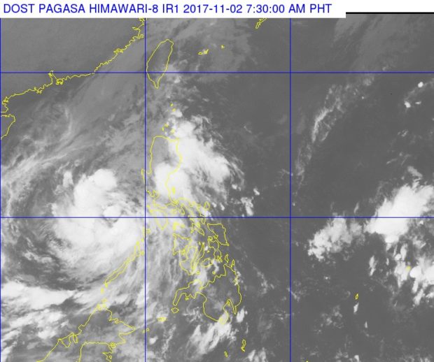
Storm signals were lifted as Tropical Depression “Ramil” traversed the West Philippine Sea, the state weather bureau said on Thursday.
Ramil maintained its strength with maximum sustained winds still at 55 kilometers per hour (kph) and gustiness of up to 65 kph, the Philippine Atmospheric Geophysical and Astronomical Services Administration (Pagasa) said.
The tropical cyclone also slightly slowed down at 15 kph westward. Ramil was last spotted 230 kilometers west of Coron, Palawan. It is expected to exit the Philippine Area of Responsibility by Thursday night or Friday morning.
“Moderate to occasionally heavy rains are still expected over Mindoro Provinces, Palawan, Batangas, Northern Quezon including Polillo Island and Aurora,” Pagasa said.
Residents in these areas are alerted against possible landslides and flashfloods.
Metro Manila and the rest of Luzon will have light to moderate with possible occasional heavy rains and thunderstorms.
Sea travel remains dangerous over the northern and eastern seaboards of Northern Luzon due to Ramil and the surge of the northeast monsoon, the weather bureau said. /kga