‘Jolina’ picks up speed, seen to exit PAR Saturday night
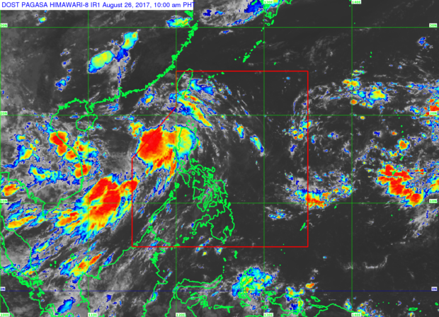
The path of tropical storm “Jolina.” Source Pagasa-DOST
Tropical storm “Jolina” (international name: Pakhar) has accelerated and intensified after passing through Laoag City, Ilocos Norte, the state weather bureau said on Saturday.
With the acceleration of its movement, Jolina is expected to leave the Philippine area of responsibility on Saturday night, earlier than the initial forecast that it will exit PAR Sunday morning.
In its 11:00 a.m. severe weather bulletin, the Philippine Atmospheric, Geophysical, Astronomical Services Administration (Pagasa) said that Jolina picked up its pace and strength as it continued to move west northwest of Luzon.
Tropical cyclone warning signals have been lifted in most provinces, except for Ilocos Sur, Ilocos Norte, La Union, and Abra, which were all under signal number 1.
Moderate to heavy rains will continue to pour within the 300-kilometer diameter of the tropical storm, while monsoon rains will continue to prevail over western sections of central and southern Luzon.
Article continues after this advertisementJolina was last spotted 120 kilometers west of Sinait, Ilocos Sur. JPV