
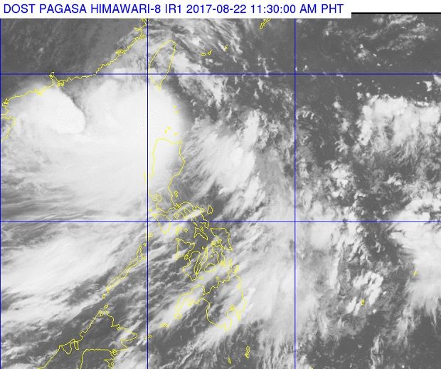
Cyclone ‘Isang’, shown above west of the Batanes, intensified into a severe tropical storm late Tuesday morning, August 22, 2017, a few hours before it was expected to exit the Philippine area of responsibility. PAGASA PHOTO
Tropical cyclone “Isang” (Hato) intensified into a severe tropical storm midday Tuesday, a few hours before its expected exit from the Philippine area of responsibility.
The storm packed maximum sustained winds of 90 kilometers per hour near the center and gusts of up to 113 kph, the Philippine Atmospheric, Geophysical and Astronomical Services Administration (Pagasa) said.
Signal No. 1 was raised over Batanes, Babuyan Group of Islands and Ilocos Norte.
Isang was last tracked 220 kilometers west of Basco, Batanes, moving at a speed of 23 kph westward.
Weather forecaster Aldczar Aurelio said Isang was expected to exit the Philippine area of responsibility in the afternoon.
Pagasa said moderate to occasionally heavy rain will prevail within the 400 km diameter of the storm.
“This weather system will continue to enhance the southwest monsoon that will bring light up to heavy rains over Visayas and the rest of Luzon particularly over the western section and Cordillera Administrative Region,” Pagasa said. CBB