
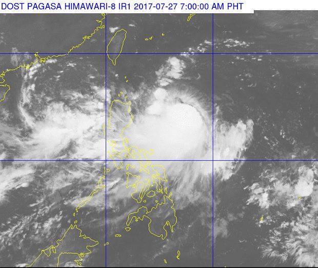
Tropical Storm ‘Gorio’ can be seen swirling west of Luzon in this satellite photo released by Pagasa at 7 a.m., July 27, 2017. PAGASA IMAGE
After days of intermittent to continuous moderate to heavy rain, the weather bureau reiterated its warning of possible flashfloods and landslides in affected areas in Luzon and the Visayas.
The Philippine Atmospheric, Geophysical and Astronomical Services Administration (Pagasa) repeated the warning as it expected Tropical Storm “Gorio” to gain more strength and further enhance the southwest monsoon.
Pagasa last spotted Gorio 595 kilometers east northeast of Casiguran, Aurora. It has intensified with maximum sustained winds of 85 kilometers per hour near the center and gusts of up to 105 kph.
Gorio, which was moving north northwest at 13 kph, may intensify into a severe tropical storm in the next 24 to 36 hours, according to Pagasa’s bulletin issued at 11 p.m. on Wednesday, July 26, 2017.
The southwest monsoon is affecting the western section of Luzon and Visayas.
Monsoon rain which may trigger flashfloods and landslides are expected over Metro Manila and the regions of Ilocos, Cordillera, Central Luzon, Calabarzon and the provinces of Mindoro and Palawan, Pagasa said.
Cloudy skies with light to moderate rains and thunderstorms will be experienced over the Visayas and the regions of Cagayan Valley and Bicol and the provinces of Marinduque and Romblon, it added.
Partly cloudy to cloudy skies with isolated rainshowers or thunderstorm will prevail over Mindanao.
Heavy rain has prompted the suspension of classes in many of the affected localities in Luzon. CBB