
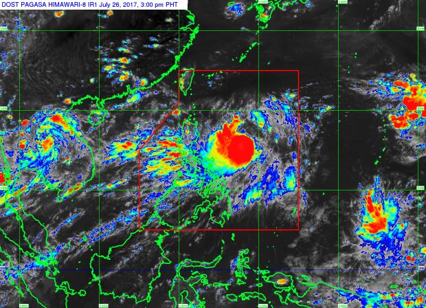
Tropical Storm Gorio as of 3:00 p.m., July 26, 2017. (Satellite image from Pagasa)
Tropical Storm Gorio (internationally known as Nesat) slightly intensified as it moved northward on Wednesday afternoon, according to the bulletin issued at 4 p.m. on Wednesday by the Philippine Atmospheric, Geophysical and Astronomical Services Administration (Pagasa).
The storm is expected to enhance the southwest monsoon affecting Luzon and Western Visayas.
As of 3 p.m., it was packing maximum winds of 75 kph, with a gustiness reaching up to 90 kph.
Gorio was last located 615 km east of Casiguran, Aurora, moving north at 13 kph.
Monsoon rains which will trigger flashfloods and landslides is expected over Metro Manila and the regions of Ilocos, Cordillera, Central Luzon, Calabarzon, and Mimaropa, Pagasa said.
Cloudy with light to moderate rains and thunderstorms will be experienced over Visayas and the regions of Cagayan Valley and Bicol.
The rest of the country will have partly cloudy to cloudy skies with isolated rainshowers or thunderstorms. –Renz Paolo B. Regis /atm