pagasa.dost.gov.ph
Tropical depression “Fabian” has maintained its strength as it continues to move west northwest on its way out of the Philippines, the state weather bureau said Saturday.
In its 11 a.m. bulletin, the Philippine Atmospheric, Geophysical and Astronomical Services Administration (Pagasa) said Fabian was spotted 170 kilometers (km) west northwest of Basco, Batanes as of 10 am.
Pagasa said it has a maximum sustained winds of 55 kilometers per hour (kph) near the center and gustiness of up to 65 kph. The weather bureau said was moving 18 kph west northwest.
Tropical cyclone warning signal number 1 has been lifted in Batanes and Northern Cagayan including Babuyan Group of Islands as Fabian was expected to leave the Philippine area of responsibility (PAR) Saturday night.
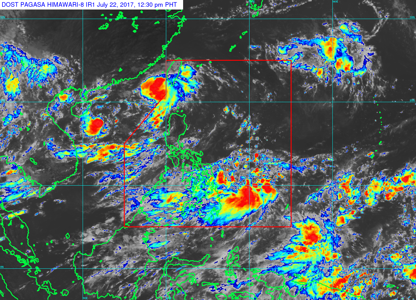
Meanwhile, another low pressure area (LPA) was spotted at 725 kilometers east of Hinatuan, Surigao del Sur as of 8 a.m.
Pagasa said the LPA would bring cloudy skies with light to moderate rains and thunderstorms over the regions of eastern Visayas, northern Mindanao, Caraga, and Davao. IDL