
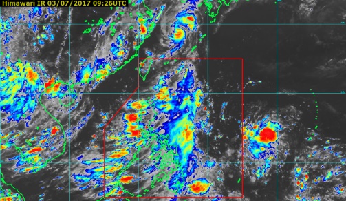
Screengrab from pagasa.dost.gov.ph
The weather disturbance that developed into Tropical Storm “Emong” (international name: “Nanmadol”) on Sunday already exited the Philippine area of responsibility by Monday morning, but the southwest monsoon is expected to continue bringing rains in Luzon and Visayas.
In its 24-hour forecast issued 4 p.m. on Monday, the Philippine Atmospheric Geophysical and Astronomical Services Administration (Pagasa) said “Nanmadol” intensified into a severe tropical storm as it exited, packing maximum sustained winds of 90 kilometers per hour and gustiness of up to 115 kph.
However, as of 4 p.m., it was already 885 kilometers north northeast of Basco, Batanes, outside the Philippine area of responsibility. “Nanmadol” is expected to move north-northeast at 30 kph.
Nevertheless, Pagasa said the southwest monsoon continues to affect the western section of Luzon and Visayas.
Pagasa warned of cloudy skies with light to moderate rainshowers and thunderstorms over Visayas, the regions of Ilocos, MIMAROPA, Bicol, Zamboanga Peninsula, northern Mindanao, Caraga, Davao and the provinces of Zambales and Bataan.
Meanwhile, partly cloudy to cloudy skies with isolated rainshowers or thunderstorms will prevail over Metro Manila and the rest of the country, Pagasa said.