
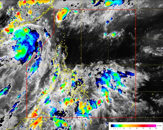
Screengrab from pagasa.dost.gov.ph
Tropical storm “Merbok” on Monday will not make landfall even as the country will experience cloudy skies with rain and thunderstorm, according to the state weather bureau.
In the 24-hour public weather forecast issued 5 p.m., Philippine Atmospheric, Geophysical and Astronomical Services Administration (Pagasa) said the storm as of 4 p.m. was located at 740 kilometers west of extreme north of Luzon, or outside the Philippine Area of Responsibility.
The storm has a maximum wind of 75 kilometers per hour, and gusts of 90 kilometers per hour.
It is forecast to move north northwest at 25 kilometer per hour.
Meanwhile, a high pressure area is spotted affecting Luzon.
Pagasa said cloudy skies with light to moderate rains and thunderstorms will prevail over the regions of Eastern Visayas, Caraga, Davao and Soccsksargen.
Meanwhile, partly cloudy to cloudy skies with isolated rainshowers or thunderstorms will prevail over Metro Manila and the rest of the country, Pagasa said.
Pagasa said moderate to occasionally strong winds from the southwest to south are expected over the western section of Luzon where its coastal waters will be moderate to occasionally rough.
Meanwhile, light to moderate winds from the southeast to south will prevail over the rest of Luzon, and winds from southeast to east will prevail over Visayas and Mindanao with slight to moderate seas, Pagasa said./ac