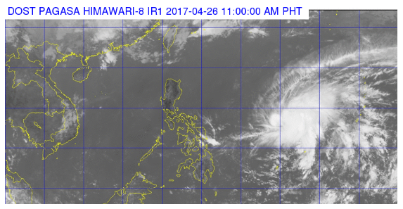
Satellite image from Pagasa
Tropical depression “Dante” (international name: Mufia) intensified into a tropical storm as it entered the Philippine Area of Responsibility (PAR) on Wednesday morning according to the state weather bureau.
In its 11 a.m. advisory, the Philippine Atmospheric, Geophysical and Astronomical Services Administration (Pagasa) said Dante was last plotted at 1,170 kilometers east of Virac in Catanduanes as it moved northwest at 11 kilometers per hour (kph).
It was packing maximum sustained winds of up to 65 kph near the center and gustiness of up to 80 kph.
Pagasa said moderate to heavy rains were expected within the 300-kilometer diameter of the tropical storm. No tropical cyclone warning signals have been raised so far.
Pagasa earlier said Dante would not directly affect any part of the country, but local thunderstorms may be experienced in Metro Manila and other areas.
Dante was forecast to exit PAR on Friday morning. IDL
RELATED STORIES
‘Dante’ to intensify into tropical storm within 24 hours
Tropical depression ‘Dante’ to enter PAR Tuesday night