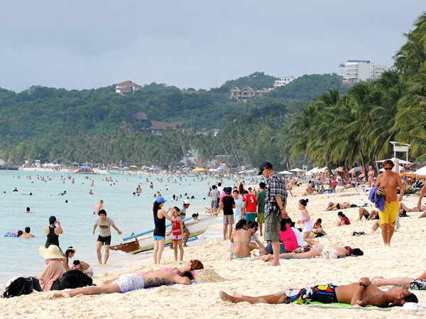
MANILA — Summer has come—or at least, the dry season.
The state weather bureau announced on Wednesday, the onset of the dry season—colloquially dubbed “summer,” although the Philippines only has a dry or wet season—as the northeast monsoon was officially
“terminated” for the year.
The resurgence of the northeast monsoon has been bringing rains over northern and central Luzon in the past few days.
In a statement, Vincent Malano, the head of the Philippine Atmospheric Geophysical and Astronomical Services Administration (Pagasa) head, said “the day-to-day weather will gradually become warmer and drier in the coming weeks,” with the establishment of the north Pacific High Pressure area expected over the weekend, and the continued effects of the easterlies or winds coming from the Pacific being felt in the country.
Earlier, the PAGASA said the easterlies was one of the reasons for the increasing heat in the country since March, with heat indices—or the temperature felt by the human body—reaching “danger levels” or surpassing 40°C in some cities. The “heat index” factors in the air temperature and the relative humidity.
The air temperature in March did not breach 40°C so far, but it is expected to do so by May.
During the 90th Climate Outlook Forum at the PAGASA central office in Quezon City, Analiza Solis of the PAGASA’s Climatological and Agrometeorological division said at the extreme, ranges of air temperature in the country from April to September could get as high as 39°C in April, and 40°C in May; and as low as 15°C in mountainous areas.
“In general, it will be slightly cooler than average during the forecast period in portions of the Visayas area, and slighty warmer in portions of Luzon and Mindanao,” Solis said.
It is still too early to predict whether El Niño conditions—characterized by dry and hot weather—will develop later in the year, with prediction models across the globe still exhibiting “high uncertainty in forecasting,” Solis said. PAGASA’s consensus forecast, however, sees ENSO-neutral conditions, or neutral sea surface temperatures, to continue in the tropical Pacific until May. By the second half of the year, the PAGASA would “continue to monitor the possibility” of El Niño conditions developing, Solis said.
Despite the onset of “summer,” Malano is telling the public to expect isolated rainshowers and thunderstorms over the eastern sections of the country due to a “localized convection,” and in Mindanao due to “the northward migration of the Intertropical Convergence Zone (ITCZ).”
Solis described the rainfall forecast in April to be “below to way below normal over Luzon and Visayas, while Mindanao will generally experience near normal rainfall.” Rainfall forecasts across the country is forecast to be “near normal” in May, the month usually associated with the onset of the rainy season.
Only at most one tropical cyclone is expected to hit the country in April, or none at all. The Pagasa has forecast eight to 12 tropical cyclones to develop in or enter the Philippine Area of Responsibility from April to September, Solis said. SFM
