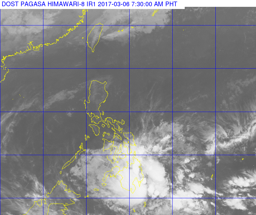
A satellite photo released by Pagasa at 7:30 a.m., March 6, 2017, shows heavy cloud cover over Mindanao. PAGASA PHOTO
Parts of Mindanao will experience moderate to occasionally heavy rain due to a low pressure area (LPA), the state weather bureau said on Monday.
“Cloudy skies with moderate to occasionally heavy rains and thunderstorms which may trigger flashfloods and landslides will be experienced overthe regions of CARAGA, Davao and SOCCSKSARGEN,” the Philippine Atmospheric, Geophysical and Astronomical Services Administration (Pagasa) said.
The LPA was last spotted 225 kilometers southeast of Hinatuan, Surigao de Sur.
The rest of Mindanao will have cloudy skies with light to moderate rain and isolated thunderstorms.
The northeast monsoon is prevailing over Northern Luzon, Pagasa said.
Partly cloudy to cloudy skies with isolated light rain will be experienced over the regions of Cagayan Valley, Cordillera and Ilocos.
Metro Manila and the rest of the country will have partly cloudy to cloudy skies with isolated rainshowers or thunderstorms. CBB