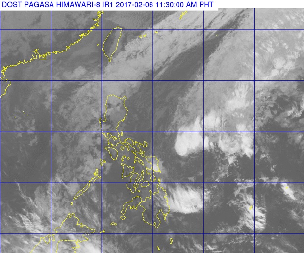
Tropical depression ‘Bising’ (middle, right) can be seen farther from the country in this Pagasa satellite photo released before midday Monday, Feb. 6, 2017. PAGASA PHOTO
Tropical Depression Bising has weakened and is expected to become a low pressure area (LPA) in the next 24 hours, the weather bureau said midday Monday.
The tropical cyclone packed maximum sustained winds of 45 kilometers per hour near the center and gusts of up to 55 kph, the Philippine Atmospheric, Geophysical and Astronomical Services Administration (Pagasa) said.
But the weather disturbance will continue to bring moderate to occasionally heavy rains within its 300 kilometer diameter.
Bising was last spotted 595 kilometers east of Catarman, Northern Samar. It was still moving north northeast at 10 kph.
Pagasa warned of risky sea travel over the northern seaboards of Northern Luzon and the eastern seaboards of Southern Luzon and the Visayas. CBB