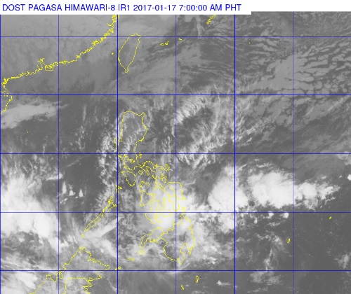
Clouds can be seen over parts of the Visayas and Mindanao in this satellite photo released by Pagasa on Tuesday morning. PAGASA WEBSITE
Parts of Visayas and Mindanao will continue to experience rain on Tuesday due to a low pressure area (LPA) near Zamboanga City and the tail-end of a cold front over the Visayas.
“Cloudy skies with moderate to occasionally heavy rains and thunderstorms which may trigger flashfloods and landslides will be experienced over Eastern Visayas, Caraga, Northern Mindanao, Zamboanga Peninsula and the province of Bohol,” the Philippine Atmospheric, Geophysical and Astronomical Services Administration said.
The LPA was last spotted 70 kilometers east northeast of Zamboanga City in Zamboanga del Sur.
Heavy rain spawned by the two weather disturbances caused flash floods in various parts of Cagayan de Oro City and Misamis Oriental on Monday. Forced evacuation was also carried out in parts of Cagayan de Oro.
Cloudy skies with light to moderate rain and isolated thunderstorms are expected over the rest of the Visayas and Mindanao, Pagasa said.
Cagayan Valley, Mimaropa, the Bicol region and the provinces of Aurora and Quezon will have cloudy skies with light rain, while Metro Manila will have partly cloudy to cloudy skies with isolated rain. CBB