
Chile map
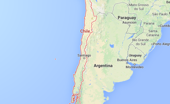
SANTIAGO, Chile — A powerful earthquake shook southern Chile on Sunday, prompting officials to order an evacuation of coastal areas to guard against a possible tsunami.
The U.S. Geological Survey put the quake’s magnitude at 7.7 and said it struck at 11:22 a.m. local time (9:22 a.m. EST; 1422 GMT) near the southern tip of Chiloe Island, about 25 miles (40 kilometers) southwest of Puerto Quello and at a depth of 20 miles (33 kilometers). The area, some 800 miles (1,300 kilometers) south of the capital of Santiago, is relatively sparsely populated.
Chile’s naval oceanographic service declared a preventative tsunami alert and officials began evacuating coastal areas in the southern part of the country.
The regional director for the national emergency service, Alejandro Verges, told TVN television that there were no immediate reports about damage.
A much stronger magnitude 8.8 earthquake in February 2010 generated a tsunami and killed 524 people in Chile.