
Typhoon “Nina” (international name: Nock-Ten) maintained its strength hours before it would make landfall in over Catanduanes, the state weather bureau said on Sunday afternoon.
In its 5 p.m. advisory, the Philippine Atmospheric, Geophysical and Astronomical Services Administration (Pagasa) said Nina packed maximum sustained winds of up to 185 kilometers per hour and gustiness of up to 255 kph.
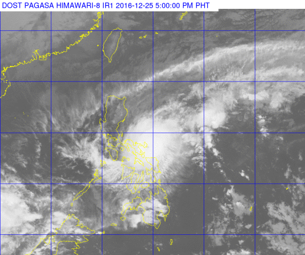
It was last plotted at 65 km east southeast of Virac, Catanduanes as it moved west at 15 kph.
Storm warning Signal No. 4 was hoisted over Catanduanes and Camarines Sur, while Signal No. 3 was placed over Burias Island, Albay, Camarines Norte, Southern Quezon, Sorsogon and Marinduque.
Metro Manila was placed under Signal No. 2, together with the following areas: Masbate including Ticao Island, Oriental Mindoro, Batangas, Laguna, rest of Quezon including Polillo, Occidental Mindoro including Lubang Island, Romblon, Cavite, Rizal, Bulacan, Bataan and Northern Samar.
Signal No. 1 was hoisted over Pangasinan, Nueva Ecija, Aurora,Quirino, Nueva Vizcaya, Zambales, Pampanga, Tarlac, Calamian Group of Islands, Aklan, Capiz, Samar, Eastern Samar, Biliran, Leyte and Bantayan Island.
Pagasa said estimated rainfall amount is from moderate to heavy within the 500 km diameter of the typhoon.
Nina is expected to make landfall over Catanduanes on Sunday evening before crossing Albay, Camarines Sur, Camarines Norte, Southern Quezon, Laguna, Batangas and Cavite.
Pagasa warned against sea travel over the seaboards of Luzon, adding that storm surge with a height of up to 2.5 meters is possible over the coastal areas of Albay, Sorsogon, Camarines Sur, Camarines Norte and Catanduanes.