SCREENGRAB FROM Pagasa’s Facebook page
Severe tropical storm “Nina” (international name: Nock-Ten) intensified further midday Friday over the Philippine Sea and may become a typhoon before its expected landfall on Sunday, the state weather bureau said.
Nina packed maximum sustained winds of 105 kilometers per hour near the center and gusts of up to 130 kph, weather forecaster Chris Perez said in a press briefing.
Moderate to heavy rains are expected along the storm’s path, Perez said.
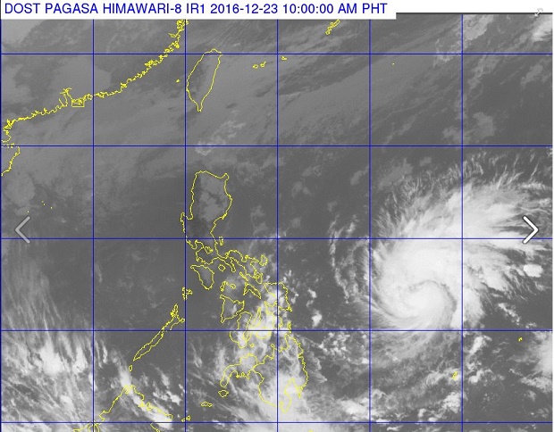
The storm was last located 790 kilometers east of Guiuan, Eastern Samar, moving west northwest at 25 kph.
Nina is expected to affect Central and Southern Luzon based on forecast models. Storm signals may be raised starting Friday afternoon or evening over the Bicol-Samar area.
Perez also warned that the storm will bring strong winds which may topple structures and trees.
Storm surges are also possible over the coastal areas of Bicol region-Samar and Quezon province.
It is expected to become a typhoon before its projected landfall over the Bicol-Samar area in the afternoon or evening of Sunday, Christmas Day, assistant weather division Rene Paciente siad.
With its track, Nina may exit the Philippine Area of Responsibility by Wednesday. RAM/rga
RELATED STORIES