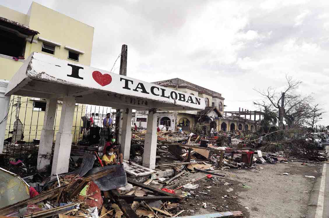
SCENE in Tacloban City a few hours after Supertyphoon “Yolanda” (international name: Haiyan) struck RICHARD A. REYES
Being the second supertyphoon to hit the Philippines in recent history, “Lawin” (international name: “Haima”) is expected to cause as much damage as 2013’s “Yolanda” (international name: “Haiyan”). But it brings with it a different set of dangers and small mercies.
In a news briefing on Wednesday afternoon, the Philippine Atmospheric, Geophysical and Astronomical Services Administration (PAGASA) compared the two supertyphoons: “Yolanda” had stronger winds, trigerring storm surges in Eastern Visayas, but it passed over land faster. “Lawin” is bigger and slower and is expected to bring heavy rainfall in the next three days in the Northern Luzon area, which could trigger floods and landslides.
PAGASA administrator Vicente Malano, however, pointed out to some small mercies: “Sa ngayon, nagiinteract na ang hangin sa mga kabundukan sa landmass ng Luzon, so ang tendency nito, hindi na sya lalakas pa. Ngayon pa lang, naguumpisa na siyang humina. Hindi abrupt, siguro mababawasan ng 10 percent.”
“Pinasala nitong ‘Lawin’ sa tingin natin di gaano compared to “Haiyan” or “Yolanda” dahil kung titingnan natin, area na naapektuhan ng Yolanda hindi gaano kabundok, compared sa lugar na ito. Pero di tayo kumpiyansa dahil malakas hangin nito, 225 kph. Hindi rin yun basta-basta,” Malano said.
RELATED VIDEO