This image from Pagasa’s Facebook page shows the forecast track of Typhoon Karen as of 5AM Sunday.
Typhoon “Karen” (international name Sarika) has made landfall over Baler, Aurora, at 2:30 am Sunday and is now spotted in the vicinity of Alfonso Castaneda, Nueva Vizcaya, the weather bureau said early Sunday.
The Philippine Atmospheric Geophysical and Astronomical Services Administration (Pagasa) said in its 5 a.m. bulletin “Karen” has maximum sustained winds of 150 kph near the center and gustiness of up to 210 kph.
Its estimated rainfall amount is from moderate to heavy within the 500 km diameter of the typhoon, Pagasa said.
“Karen” is expected to traverse the provinces of Nueva Vizcaya, Nueva Ecija and Tarlac this morning before finally exiting the landmass of the country via Pangasinan this afternoon, the weather bureau added.
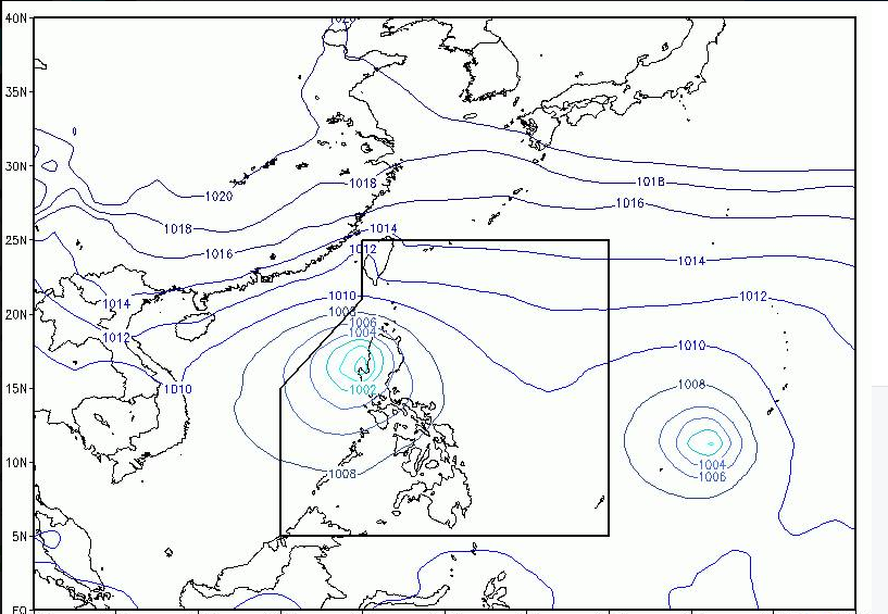
At 4 a.m. today, the Tropical Storm with international name Haima was estimated at 1,525 km east of Mindanao, Pagasa said. It is expected to enter the eastern boundary of the Philippine Area of Responsibility by Monday, it added.
Under signal number 3 are these provinces:
Pangasinan, Northern Zambales, Tarlac, Nueva Ecija, Aurora, Northern Quezon including Polillo Island, La Union, Benguet, Nueva Vizcaya and Quirino.
Signal number 2
Ilocos Sur, Southern Isabela, Mt Province, Ifugao, Rest of Zambales, Pampanga, Bulacan, Bataan, Rizal, Metro Manila, Rest of Quezon and Camarines Norte.
Signal number 1
Ilocos Norte, Abra, Kalinga, Rest of Isabela, Southern Apayao, Southern Cagayan, Oriental Mindoro, Cavite, Batangas, Laguna, Marinduque and Camarines Sur.
The next weather bulletin to be issued at 8 a.m. today, Pagasa said. Totel V. de Jesus, INQUIRER.net