SATELLITE IMAGE FROM PAGASA.DOST.GOV.PH
A potential typhoon is on a trajectory to lash Luzon this weekend.
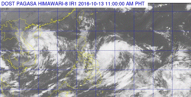
The Philippine Atmospheric, Geophysical and Astronomical Services Administration (Pagasa) said Tropical Depression “Karen,” which developed
from a low-pressure area east of Mindanao on Tuesday, was moving west-northwest toward the Luzon land mass.
Packing maximum winds of 50 kilometers per hour near the center and gusts of 70 kph, the cyclone will intensify as it nears the Bicol and Eastern Visayas regions today.
“By Saturday, all of Luzon and the Visayas will have rains, especially Bicol, Quezon and Aurora,” Pagasa weather forecaster Benison Estareja said.
The storm’s full impact will be felt on Sunday as it is expected to become a full-blown typhoon as it barrels toward northern and Central Luzon. Based on its speed and track, the potential typhoon is forecast to make landfall over northern Quezon and Aurora on Sunday afternoon.
“It is intensifying and it’s possible it will become a typhoon before it makes landfall,” Estareja said.
Pagasa is expected to raise cyclone warning signals on
Friday.