Tropical depression ‘Karen’ intensifies, to exit PAR Tuesday
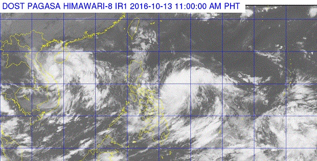
SATELLITE IMAGE FROM PAGASA.DOST.GOV.PH
Tropical depression “Karen” intensified on Thursday morning as it moved in a west northwest direction, according to the state weather bureau.
In its 11 a.m. advisory, the Philippine Atmospheric, Geophysical and Astronomical Services Administration (Pagasa) said Karen was packing maximum sustained winds of up to 55 kilometers per hour near the center and gustiness of up to 70 kph.
READ: LPA turns into tropical depression ‘Karen’
Karen was last plotted at 565 km east of Catarman in Northern Samar.
Pagasa said moderate to heavy rainfall was expected within the 300 km diameter of the tropical depression.
Karen is expected to be at 365 km east of Virac, Catanduanes on Friday morning; 150 km northeast of Virac, Catanduanes on Saturday morning; 135 km east southeast of Baler, Aurora on Sunday morning; 210 km west southwest of Sinait, Ilocos Sur on Monday morning; and 605 km west of Sinait, Ilocos Sur or outside the Philippine Area of Responsibility on Tuesday morning. CDG/rga