
SCREENGRAB from Pagasa’s Facebook page
Tropical Storm “Megi,” which will be locally named “Helen” when it enters the Philippine Area of Responsibility on Saturday morning, is likely to affect Northern Luzon.
Based on the pre-disaster risk assessment core group meeting of the National Disaster Risk Reduction and Management Council (NDRRMC) on Friday, storm signals may be raised over extreme Northern Luzon by Saturday afternoon.
Helen may bring stormy weather and gusty winds over most parts of Northern Luzon by Sunday evening until Tuesday morning, NDRRMC Executive Director Ricardo Jalad said.
“By Tuesday morning, it is anticipated to be close to Itbayat, Batanes,” Jalad said.
Batanes is still reeling from the devastation brought by Typhoon “Ferdie” (international name: Meranti), the strongest storm to hit the Western Pacific since Super Typhoon “Yolanda” in 2013.
The weather disturbance will also enhance the southwest monsoon and will bring light to moderate rains in Central and Southern sections of Luzon as well as in Western Visayas.
The NDRRMC Operations is on blue alert ahead of Helen’s entry to the PAR—which means half of the agency’s personnel are ready for contingencies.
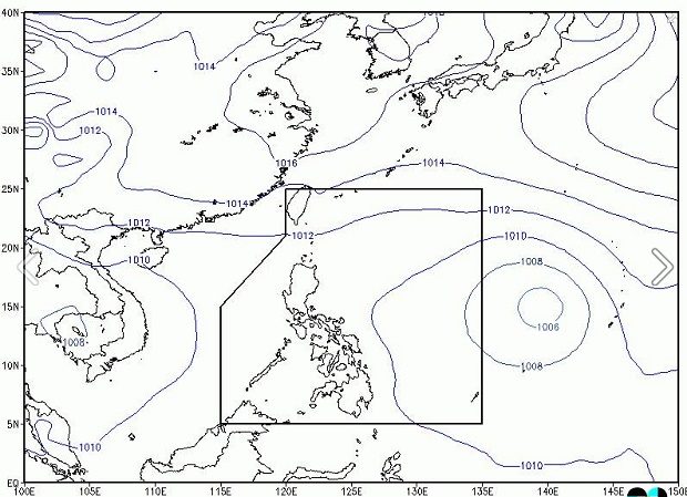
As of 11 a.m., Tropical Storm Helen was last located 1,975 kilometers east of Central Luzon and was moving west northwest at 25 kilometers per hour (kph). The storm packed maximum sustained winds of 65 kph and gusts of up to 80 kph. RAM/rga
RELATED STORIES
Weather disturbance outside PAR intensifies into tropical storm
Tropical depression to enter PAR Saturday, named ‘Helen’