
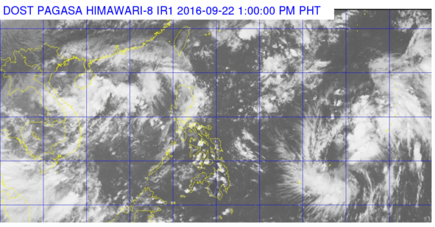
Satellite image from Pagasa
The state weather bureau on Thursday said the tropical depression it was tracking is expected to enter the Philippine Area of Responsibility (PAR) on Saturday and will be named “Helen.”
In its 11 a.m. advisory, the Philippine Atmospheric, Geophysical and Astronomical Services Administration (Pagasa) said the tropical depression maintained its strength, packing maximum sustained winds at 55 kilometers per hour.
The cyclone, moving west northwest at 35 kph, was last plotted at 2,035 km east of Mindanao.
In its 24-hour weather forecast, Pagasa said the southwest monsoon (habagat) is also affecting the province of Palawan.
Partly cloudy to cloudy skies with isolated rainshowers or thunderstorms will be experienced over the country, it added. YG/IDL/rga
RELATED STORIES Pagasa: Tropical cyclone may enter PH over weekend Gener moves out of PAR