Brace for ‘Ferdie,’ Northern Luzon warned
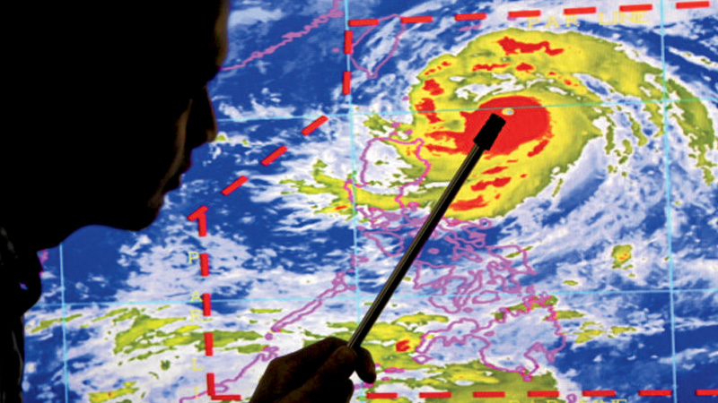
Weather forecaster Alczar Aurelio shows Typhoon Ferdie that is expected to make landfall tomorrow during the media briefing in PAGASA office in Quezon City.INQUIRER PHOTO / RICHARD A. REYES
THE PHILIPPINE Atmospheric Geophysical and Astronomical Services Administration (Pagasa) on Tuesday warned areas in the country’s northernmost tip to hunker down ahead of Typhoon “Ferdie” (international name: Meranti) which is expected to hit Batanes province today (Wednesday).
The typhoon was expected to bring strong winds and heavy rainfall that are likely to persist in the region until Thursday, Pagasa forecaster Aldczar Aurelio said. It is likely to pass very close to the Batanes by Wednesday morning.
Packing maximum sustained winds of up to 215 kilometers per hour (kph) near the center, and gustiness of up to 250 kph, the eye of the typhoon was located 260 kilometers east of Basco, Batanes, as of 1 p.m. Tuesday. Three hours later, the storm was located 165 kms, as it gathered speed at 24 kph. It was forecast to dump heavy rains within a 600-km diameter band.
Tropical cyclone warning number four was already hoisted in the Batanes group of islands, number three in the Babuyan group of islands, number two in Ilocos Norte, Apayao, and northern Cagayan, and number one in the rest of Cagayan, northern Isabela, Kalinga, Abra and northern Ilocos Sur.
Power outages, flooding
“We are issuing this warning to our citizens in the Batanes group of islands, where the typhoon is expected to hit at dawn tomorrow,” Renito Paciente of Pagasa said. “Power will surely be cut, so it’s going to be really dark, there might be flooding or trees falling on houses.”
Article continues after this advertisementHe said while low-slung, stone houses in Batanes were designed to withstand typhoons, he cautioned the public to be prepared nonetheless. All types of sea vessels have been ordered to stay on shore, with the typhoon expected to trigger storm surges and high waves in northern and eastern Cagayan.
Article continues after this advertisementPaciente said the Philippines could still count itself lucky that the storm was not expected to hit populated areas in-land.
Strong storm
“If it were to hit Metro Manila or the southern part, it would cause heavy damage. Not only would it bring wind, but storm surges, flooding. This is a strong storm. It may be slightly weaker than Typhoon Yolanda, but still strong,” Paciente said, referring to one of the world’s strongest cyclones to hit land, killing more than 6,300 people, in 2013.
Meanwhile, the weather bureau said it was also monitoring a tropical storm, named “Malakas,” located 1,625 kilometers east of Luzon as of Tuesday. Packing sustained winds of 85 kph and gusts of up to 100 kph, it is expected to enter the Philippine area of responsibility (PAR) also on Wednesday. Should it develop into a typhoon, it would be named “Gener.”