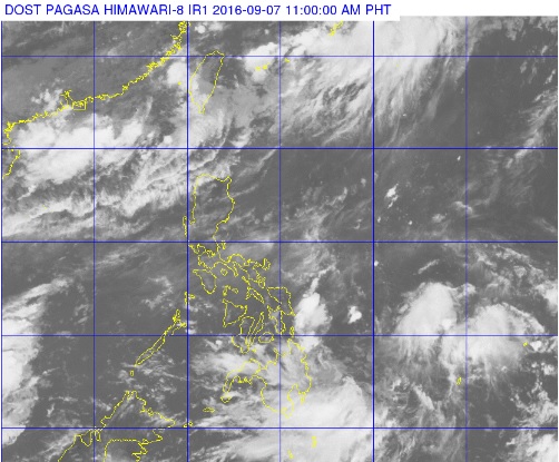
A satellite photo released by the Pagasa shows clouds over Mindanao and east of the southern main island. PAGASA PHOTO
The state weather bureau on Wednesday is tracking a new low pressure area (LPA) near Mindanao.
The weather disturbance was last observed 355 kilometers east of Hinatuan, Surigao del Sur, the Philippine Atmospheric Geophysical and Astronomical Services Administration (Pagasa) said.
Monsoon rain, meanwhile, will also continue to affect the western section of Northern Luzon.
Cloudy skies with light to moderate rain and thunderstorms will be experienced over Mindanao, Eastern Visayas, Ilocos Norte and the islands of Batanes and Babuyan, Pagasa said.
Partly cloudy to cloudy skies with isolated rainshowers or thunderstorms will prevail over Metro Manila and the rest of the country.
At 10 a.m., Pagasa said a thunderstorm was likely in Metro Manila in the next 12 hours.