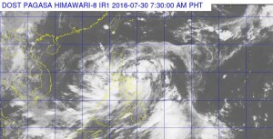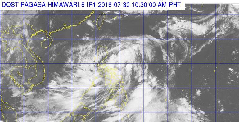
This satellite image from Pagasa shows the location of tropical depression Carina as of 10:30 a.m.
The state weather bureau on Saturday placed 10 areas under public storm signal number 1 as tropical depression “Carina” maintained its strength in eastern Philippines.
In its 11 a.m. bulletin, the Philippine Atmospheric, Geophysical and Astronomical Services Administration (Pagasa) said Carina was last spotted at 175 east northeast of Catarman in Northern Samar. It kept its maximum sustained winds of up to 55 kilometers per hour (kph) and was forecast to move north northwest at 15 kph.
Pagasa raised signal number 1 over the provinces of Cagayan, Isabela, Catanduanes, northern Aurora, Camarines Sur, Albay, Sorsogon, Northern Samar, Eastern Samar and Samar.
The bureau said areas under public storm signal number 1 would experience moderate to heavy rains, which may trigger flash floods and landslides.
Winds brought about by Carina may bring light to no damage to low risk structures, light to medium damage to high risk structures, slight damages to houses built of very light materials, and significant damages to rice crops in their flowering stage.
Pagasa advised the public and the disaster risk reduction and management council to take appropriate actions and remain alert for the next weather bulletin.
Carina is expected to exit the Philippine area of responsibility by Tuesday morning. IDL
RELATED STORIES
Signal No. 1 up in 7 areas as ‘Carina’ accelerates
Low pressure area now a depression