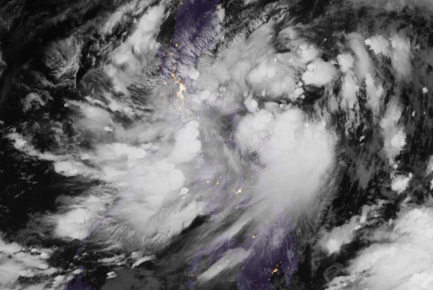
July 30, 2016 satellite image by Regional and Mesoscale Meteorology Branch.
STORM signal No. 1 was raised over Catanduanes and Northern and Eastern Samar yesterday as a low pressure area earlier spotted near the eastern Visayas developed into a tropical depression.
Named “Carina,” it could bring winds as strong as 30 to 60 kilometers per hour in these areas in the next 36 hours, the Philippine Atmospheric Geophysical and Astronomical Services Administration (Pagasa) said yesterday.
The tropical cyclone, packing 45-kph winds near the center, is also expected to bring moderate to heavy rains in Bicol, eastern Visayas and Caraga regions.
Flash flood, landslide warnings
Carina’s center was monitored by Pagasa at 135 kilometers east of Borongan City, Eastern Samar as of 4 p.m. yesterday.
The weather bureau warned of flash floods and landslides in affected areas. It also warned fisherfolk of moderate to rough seas in the eastern seaboards of Luzon and the Visayas.
Carina is expected to move northwest at 11 kph. By today, it is expected to be 280 kilometers east of Virac, Catanduanes, in Bicol. It is forecast to be 105 km east of Tuguegarao on Sunday.