SATELLITE IMAGE FROM Regional and Mesoscale Meteorology Branch
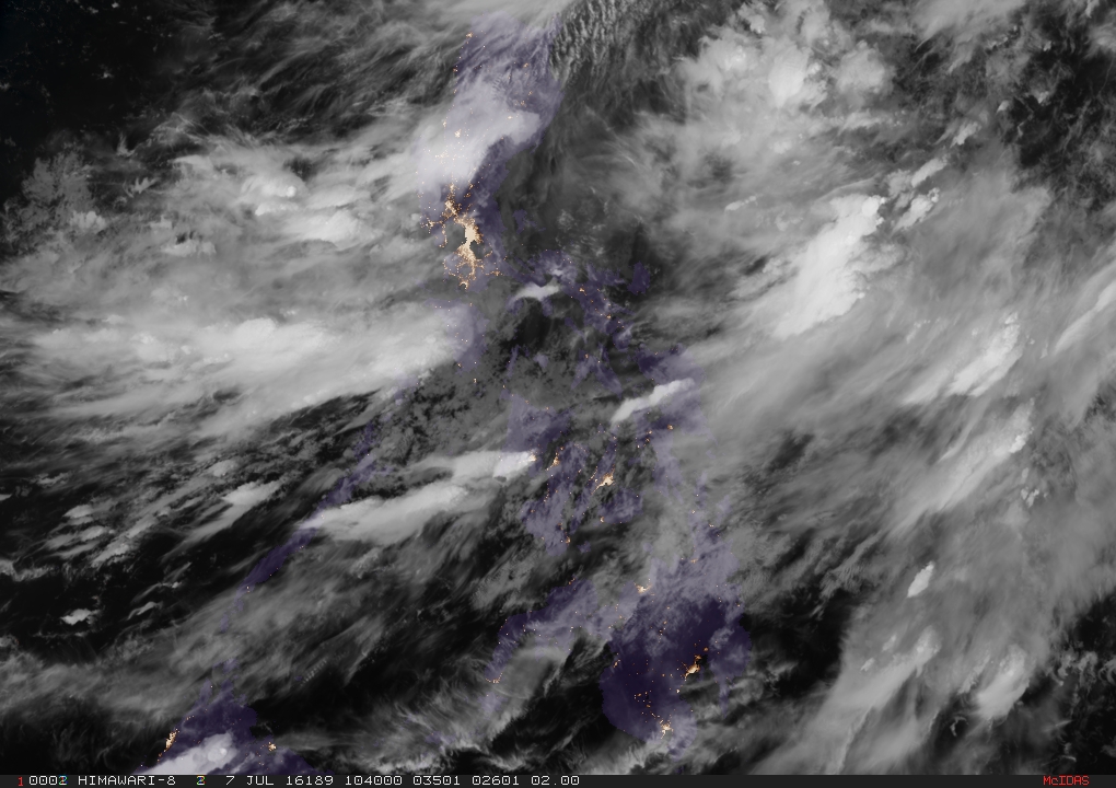
Typhoon “Butchoy” (Nepartak) slightly weakened and further slowed down as it continued to head toward Taiwan, the state weather bureau said on Thursday afternoon.
Signal No. 2 remained in place over Batanes, while Babuyan Group of Islands was at Signal No. 1, the Philippine Atmospheric, Geophysical and Astronomical Services Administration said.
The typhoon blew maximum sustained winds of 205 kilometers per hour with gusts reaching up to 240 kph.
Butchoy moved west northwest at 17 kph and was last tracked 160 kilometers northeast of Itbayat, Batanes.
Moderate to heavy rains are forecast within the 650 kilometer diameter of the typhoon.
Southwest monsoon prevailed over Luzon and Western Visayas.
Pagasa reiterated that Butchoy would not directly hit the country but monsoon rains were expected over Cavite, Batangas, Zambales, Bataan, Occidental Mindoro and Panay. Occasional rains will prevail over Metro Manila, the rest of Luzon, Visayas and Zamboanga Peninsula.