SCREENGRAB FROM PAGASA’S FACBOOK PAGE
The state weather bureau is tracking another low pressure area (LPA), this time outside the Philippine Area of Responsibility.
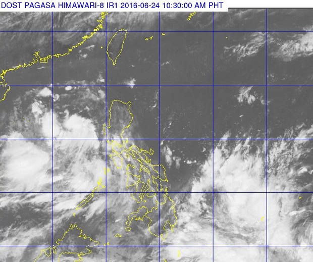
In an advisory at 11:00 a.m., the Philippine Atmospheric, Geophysical and Astronomical Services Administration (Pagasa) plotted the new LPA 1,620 kilometers east of Mindanao.
The first LPA was last spotted over the West Philippine Sea, but is likely to exit the Philippine area of responsibility within 24 hours, Pagasa weather forecaster Jun Galang said by phone midday Friday.
The LPA, spotted on Thursday, was estimated at 435 kilometers west of Iba, Zambales at 10 a.m. today and is expected to intensify into a tropical depression once outside PAR.
A new LPA tracked 1,620 kilometers east of Mindanao is expected to enter PAR in the next 24 hours.
It is also expected to strengthen into a tropical depression as it remained at sea, Galang said.
The first tropical depression in the Philippines for 2016 will be locally named “Ambo.”
“These two LPAs are embedded along the Intertropical Convergence Zone (ITCZ) which will bring occasional to frequent light to moderate rainshowers and thunderstorms over Palawan, Visayas and Mindanao today and onwards,” Pagasa said in its midday advisory. YG/rga/CDG
READ: LPA near Mindoro; expect cloudy skies, rain over PH