SCREENGRAB from Pagasa’s website
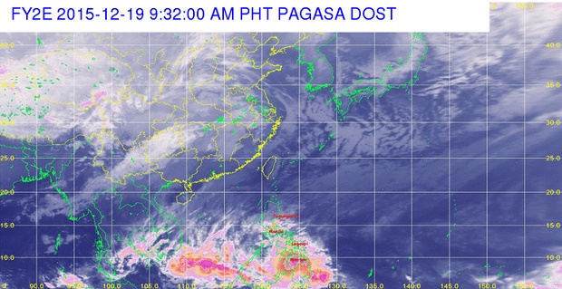
The low pressure area (LPA), a former tropical depression named “Onyok,” and the tail-end of a cold front will bring cloudy skies with moderate to heavy rains and thunderstorms, the state weather bureau said Saturday.
In its 11 a.m. bulletin, Philippine Atmospheric, Geophysical and Astronomical Services Administration (Pagasa) said cloudy skies with moderate to heavy rains and thunderstorms will be experienced over Caraga region, Central and Eastern Visayas and the provinces of Misamis Oriental, Misamis Occidental, Davao Oriental, Aurora and Quezon.
Pagasa said such system may trigger flashfloods and landslides and residents are advised to take all the necessary precautionary measures.
Based on all available data, the LPA was estimated to be in the vicinity of Ampatuan, Maguindanao.
Northern, Eastern and Western seaboards of Luzon and the Eastern seaboards of Visayas and Mindanao are expected to be affected by the strong to gale force northeasterly surface wind flow associated with the surge of the northeast monsoon.
Due to the big waves generated by such weather system, Pagasa advised small seacrafts and fishing vessels not to venture out into the sea. Risnie Ann Maricuelo
RELATED STORIES
Heavy rains in Metro Manila, Bicol, others, says Pagasa