SCREENGRAB from Pagasa’s Facebook page
Tropical Depression “Onyok” maintained its strength as it continued to pose threat over Caraga region, the state weather bureau said Friday morning.
The tropical depression is seen to make landfall over Surigao del Sur within the day at around 8 p.m., weather forecaster Samuel Duran of the Philippine Atmospheric, Geophysical and Astronomical Services Administration (Pagasa) said.
He said forecast models indicate that Onyok will no longer intensify into a storm and it will weaken further after landfall.
“It will exit the Philippine area of responsibility by Monday if it will survive as a low pressure area,” Duran said.
Signal No. 1 was raised over Surigao del Sur including Siargao Island, Surigao del Norte, Dinagat Province, Misamis Oriental, Camiguin, Agusan del Norte, Agusan del Sur, Davao Oriental, Davao del Norte, Compostela Valley, Bukidnon, Lanao del Norte, Lanao del Sur, Misamis Occidental, Davao del Sur, North Cotabato, Zamboanga del Norte, Zamboanga del Sur and Zamboanga Sibugay.
Pagasa warned that possible flashfloods and landslides are possible in the low-lying areas.
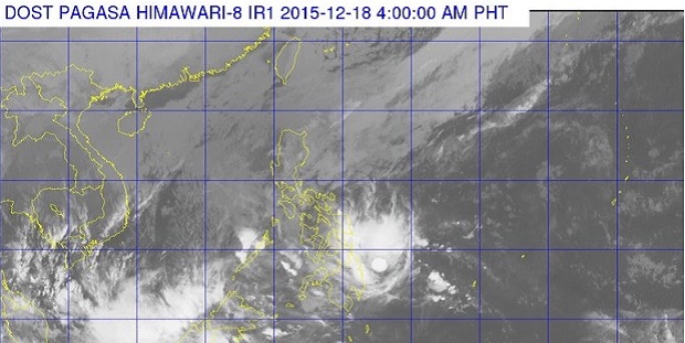
Onyok packed maximum sustained winds of 55 kilometer per hour (kph) near the center and moved westward at 17 kph.
The tropical cyclone was last tracked 405 kilometers east of Hinatuan, Surigao del Sur and moderate to heavy rains are seen within its 100-km diameter.
Meanwhile, cloudy skies with light to moderate rains will be experienced over Metro Manila and the rest of Luzon.
Cloudy skies with light to moderate rains and isolated thunderstorms will prevail over the rest of the country. RAM
RELATED STORIES
‘Onyok’ maintains strength, threatens Caraga region; ‘Nona’ weakens
‘Onyok’ comes nearer to PH, threatens Caraga region