Satellite image from Pagasa
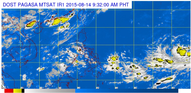
The state weather bureau is monitoring a weather disturbance that may develop into a supertyphoon once it enters the Philippine Area of Responsibility (PAR).
Weather forecaster Manny Mendoza of the Philippine Atmospheric, Geophysical and Astronomical Services Administration (PAGASA) said the supertyphoon would be named “Ineng” once it enters PAR.
Mendoza said the typhoon is moving slowly at nine kilometers per hour toward PAR.
He said the supertyphoon may enter PAR anytime next week, between August 19 to 20, which would enhance “habagat” or the southwest monsoon.
The supertyphoon, however, is not expected to make landfall in the Philippines and would go straight to Japan if it would continue to track its current path.
Meanwhile, Pagasa is also monitoring another possible supertyphoon in the Pacific which may enter PAR after Ineng.
RELATED STORIES
Pagasa adds storm signal No. 5 for supertyphoons