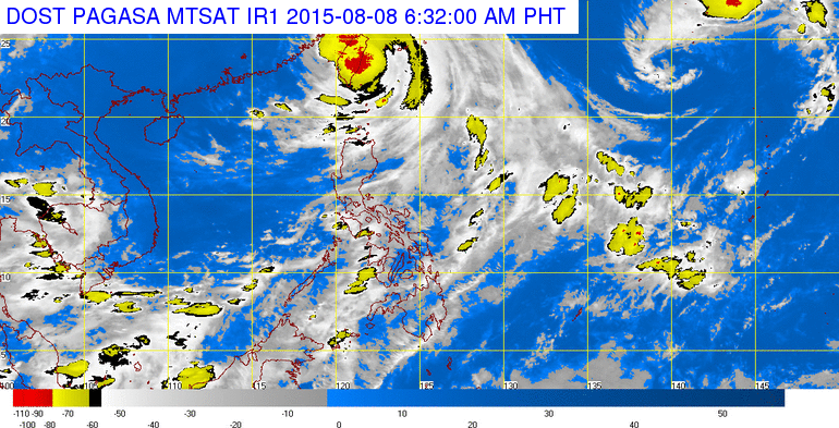
After battering the country’s northernmost islands and intensifying the southwest monsoon over southern Luzon, the Visayas and Mindanao, Hanna was headed for Taiwan, the state weather bureau said.
The Philippine Atmospheric, Geophysical and Astronomical Services Administration (Pagasa) warned of heavy rains that may trigger flash floods and landslides over Mimaropa and Western Visayas today.
But while the weather will clear over Visayas and Mindanao, the typhoon will enhance the southwest monsoon over western Luzon.
“It will continue to have an effect until Monday over the western section of north and central Luzon but we expect light to moderate rains,” Pagasa forecaster Benison Estareja said.
Public storm warning signal number 2 remained hoisted over Batanes, which would continue to experience stormy weather and rough seas; and number 1 over northern Cagayan including the Babuyan and Calayan group of islands, which would continue to experience rains and gusty winds.
A gale warning also remained up in the typhoon’s wake. Pagasa warned against sea travel over the seaboards of Luzon, Visayas and Eastern Mindanao due to very rough seas.
The state weather bureau said the typhoon would continue to enhance the southwest monsoon affecting Calabarzon, Mimaropa and the Bicol regions and the Visayas.
Pagasa also warned of possible flash floods in low-lying areas and landslides in mountainous areas.
Typhoon Hanna, considered the world’s strongest typhoon so far this year, weakened slightly when it entered the Philippine area of responsibility on Aug. 5.
On the eve of its exit, the typhoon still packed fierce winds up to a maximum 165 kilometers per hour and gusts up to 200 kph and moderate to heavy rains within a wide 750-kilometer diameter.