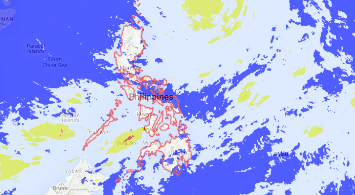
Satellite Image-05:32 PM-August 6. SCREENGRAB from noah.dost.gov.ph
Typhoon “Hanna” (Soudelor) maintained its strength as it continued to move towards Batanes, the state weather bureau said Thursday afternoon.
The typhoon packed maximum sustained winds of 165 kilometers per hour near the center and gusts of up to 200 kph, the Philippine Atmospheric Geophysical and Astronomical Services Administration said.
Signal No. 1 continued to be hoisted in Batanes, Calayan and Babuyan Group of Islands. Moderate to heavy rains are expected within its 700 kilometer diameter.
Hanna will not make landfall but will enhance the southwest monsoon in Mimaropa, Visayas and Mindanao. It was last spotted 715 kilometers east of Basco in Batanes. Flashfloods and landslides may be possible in these areas.
The typhoon continued to move west northwest at 20 kph and is expected to exit the Philippine area of responsibility by Saturday afternoon.