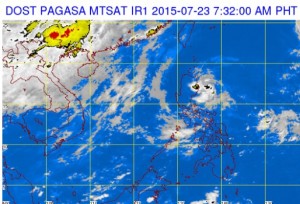
A satellite image from the Pagasa website shows Typhoon ‘Halola’ on the upper right corner of the photo as it swirls west-northwest over the Pacific Ocean. Halola is expected to enter the Philippine area of responsibility in the afternoon of Thursday, July 23, 2015, but will not affect any part of the country, Pagasa said. PAGASA WEBSITE SCREENGRAB
A typhoon over the Pacific Ocean is expected to enter the Philippine area of responsibility (PAR) Thursday afternoon but will not affect any part of the country, the weather bureau said.
Typhoon “Halola,” which is moving west northwest at 15 kilometers per hour, may enter the PAR if it moves westward, said Wilbert Aquino of the Philippine Atmospheric, Geophysical and Astronomical Services Administration (Pagasa) said by phone.
Aquino said that if Halola entered PAR, it would stay for only a few hours. And if it continued on its current track, it would head toward southern Japan.
Halola, which will be named Goring if it enters the PAR, packed maximum sustained winds of 150 kph and gusts of up to 185 kph.
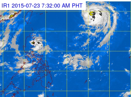
Meanwhile, a low pressure area (LPA) is forecast to bring clouds and light to moderate rain over Aurora, Quezon, the Camarines provinces, Mindoro, Marinduque and Romblon.
The LPA is not likely to intensify into a cyclone, however.
Partly cloudy to cloudy skies with isolated thunderstorms will prevail over Metro Manila and the rest of the country. CB