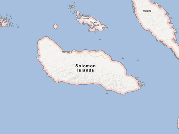
Solomon Islands on the map
SYDNEY—A 7.5-magnitude earthquake struck off the coast of the Solomon Islands in the tremor-prone Pacific on Saturday, the US Geological Survey (USGS) said.
The shallow tremor was centered about 75 kilometers (46 miles) west-northwest of Lata in the Solomon Islands and about 587 kilometers from the capital Honiara, it said.
RELATED STORIES
Magnitude 6.5 quake hits Solomon Islands, no tsunami threat
6.9-magnitude quake strikes off Solomon Islands—USGS
MOST READ
LATEST STORIES