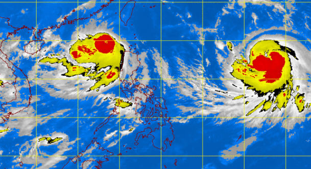
MT Satellite image July 7, 2015, 6:01 a.m. Screengrab from https://www.pagasa.dost.gov.ph/index.php
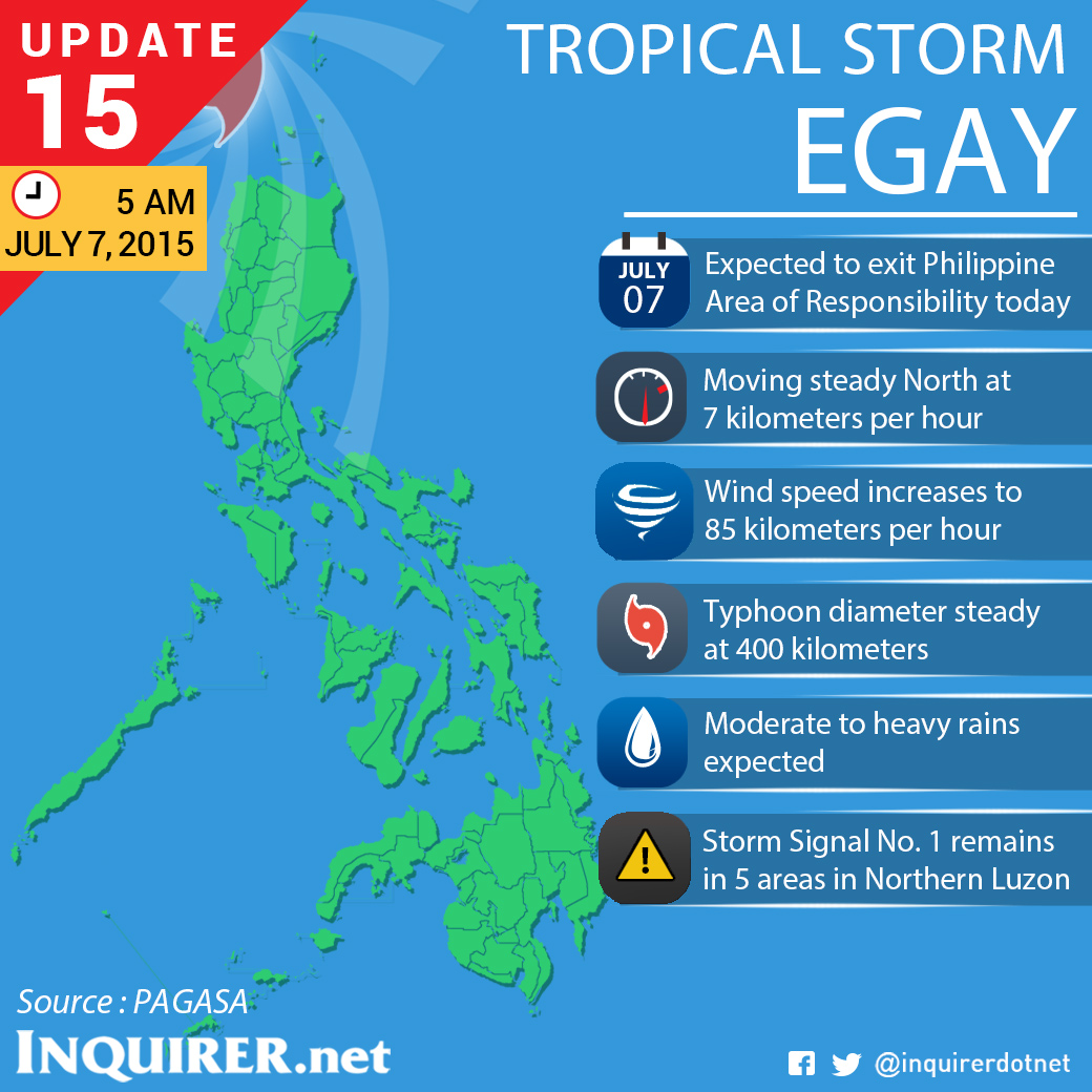
Tropical storm “Egay” (international name: Linfa) is expected to exit the Philippine area of responsibility (PAR) Tuesday morning, the latest bulletin of the state weather bureau said.
The storm slightly intensified as it continued to move northward, the Philippine Atmospheric Geophysical and Astronomical Services Administration said in its bulletin issued at 6 a.m. on Tuesday.
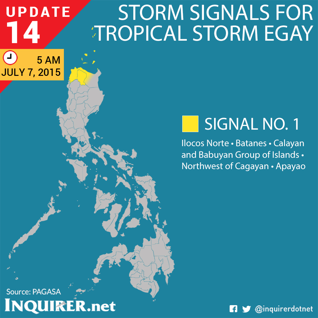
Public storm warning signal No. 1, however, was still hoisted over Ilocos Norte, Batanes, Calayan and Babuyan group of Islands, northwestern Cagayan and Apayao.
Residents of these areas were warned of possible flashfloods and landslides.
Egay packed maximum sustained winds of 85 kilometers per hour (from the previous 75 kph) and gusts of up to 100 kph (from 90 kph). It crawled northward at 7 kph.
The storm was last located 260 kilometers northwest of Laoag City in Ilocos Norte or 280 kilometers west of Basco, Batanes.
Small seacraft and fishermen were advised to avoid the seaboards of Northern and Central Luzon.
Egay will still bring moderate to heavy rains within its 400-kilometer diameter.
Pagasa also warned of possible flashfloods and landslides in Zambales, Bataan, Benguet, La Union, Pangasinan and Ilocos Sur due to the southwest monsoon.
Meanwhile, Chan-hom, a weather disturbance seen to enter the PAR Tuesday evening or early Wednesday, has already been categorized as a typhoon by the Joint Typhoon Warning Center by the US Navy.