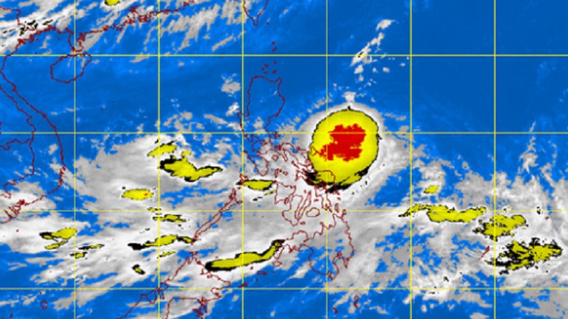
Pagasa MTSAT image as of July 3, 2015, 11.32 AM
Tropical storm “Egay” (international name: Linga) maintained its strength as it moved closer to Northern Luzon midday Friday, the state weather bureau said.
Public storm warning Signal No. 1 was raised in Isabela, Cagayan, including Calayan and Babuyan Group of Islands, the Philippine Atmospheric, Geophysical and Astronomical Services Administration (Pagasa) said.
Egay packed maximum sustained winds of 65 kilometers per hour near the center and gusts of up to 80kph.
The storm was last observed 310 kilometers east of Virac, Catanduanes and moved 13 kph northwest.
Here are Egay’s forecast positions by Pagasa:
• 24 hour (Tomorrow morning): 260 km East of Tuguegarao City, Cagayan.
• 48 hour (Sunday morning): 145 km Northeast of Aparri, Cagayan
• 72 hour (Monday morning): Vicinity of Basco, Batanes.
• 96 hour (Tuesday morning): 160 km North Northwest of Basco, Batanes.
• 120 hour (Wednesday morning): 330 km North Northwest of Basco, Batanes.
Moderate to heavy rains are forecast within the 400 kilometer diameter of the storm
Fishermen and small seacraft were advised to avoid the eastern seaboard of Central Luzon, seaboards of Southern Luzon and Visayas and the northern and eastern seaboards of Mindanao.
Residents in low lying and mountainous areas of Bicol Region and Samar provinces were also alerted by Pagasa against possible flashfloods and landslides. IDL
RELATED STORIES
Storm signal no.1 up in Isabela, Cagayan due to ‘Egay’
LPA now tropical depression ‘Egay,’ to pull ‘Agatha’