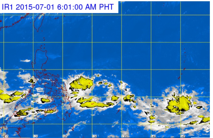
This satellite image from the Pagasa website taken at 6:01 a.m., July 1, 2015, shows rain clouds east of the Philippines. PAGASA WEBSITE SCREENGRAB
While the weather bureau kept watch on two low pressure areas (LPAs) east of the country, outside the Philippine area of responsibility (PAR), a third LPA developed off Eastern Samar and threatened to dump more rain over the eastern portion of the archipelago.
The weather bureau first issued an advisory on the LPA off Eastern Samar at 10 a.m., Tuesday, June 30, 2015, and placed it some 750 kilometers east of the province.
As of 4 a.m., Wednesday, July 1, 2015, the LPA had moved to 555 km of the province, the Philippine Atmospheric, Geophysical and Astronomical Services Administration (Pagasa) said.
Pagasa said the LPA was embedded in the intertropical convergence zone (ITCZ).
Storms and typhoons—many of which have wrought havoc to the Philippines—start out as LPAs.
But Ben Oris, weather observer of Pagasa, said the LPA had a small chance of intensifying into a tropical depression.
Pagasa is tracking two other weather disturbances east of Mindanao outside the PAR.
Oris said one has already intensified into a tropical depression while the other remained an LPA. Both are still too far to affect the country.
Meanwhile, the ITCZ will bring cloudy skies with light to moderate rain and thunderstorms to the Visayas and Mindanao.
Partly cloudy to cloudy skies with isolated thunderstorms will prevail over Metro Manila and the rest of Luzon.
Light to moderate winds blowing from the southwest will prevail throughout the archipelago and spawn slight to moderate seas. Frances Mangosing/CB