
Source: Project Noah | June 30, 2015, 01:32 PM
The weather bureau is monitoring three low pressure areas over the east, one of which could turn into a tropical depression.
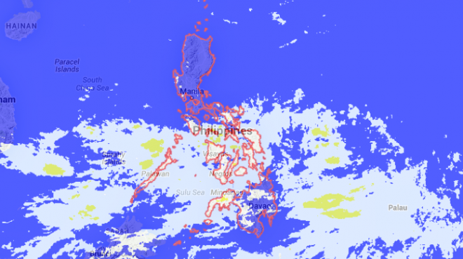
A low pressure area was monitored east of Mindanao inside the Philippine area of responsibility, said Vicente Malano, officer in charge of the Philippine Atmospheric, Geophysical and Astronomical Services Administration, in a chance interview at Camp Aguinaldo.
In a weather advisory, the LPA was last observed 220 kilometers east of Surigao City. This is expected to bring light to moderate rain over eastern and Central Visayas, Caraga and Northern Mindanao.
Two more low pressure areas are outside the PAR, also on the eastern part of Mindanao, Malano said.
He said that there is a possibility that the two would merge and intensify into a tropical depression. It is expected to enter PAR by Monday next week.
But Malano said the cyclone was not likely to make landfall but would move up towards the northern part of the Philippines.
Up to three cyclones are expected in July.
In the month of June, there were no tropical cyclones that entered the PAR, which was “rare.”
Malano said that this is because the El Niño is present and is expected to continue and intensify during the second half of the year.